Browse Items (510 total)
Sort by:

View of the Salgir river, not far from "the village of Mahmud Sultan" according to Bossoli's notes. The Salgir river is the longest river in Crimea.
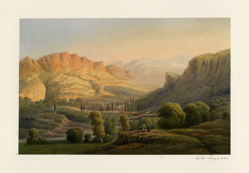
View of Valley of Kokos and surrounding mountains. Five Crimean Tatars stand and sit together on a knoll in the foreground.
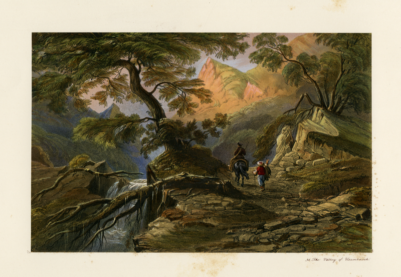
View of the valley of Usembasch (sic.) with two men in the foreground and mountains and a waterfall in the background.
Bossoli's note: "The view is taken from the path leading to Alupka, through the ridge of the Yaila Mountains."
Bossoli's note: "The view is taken from the path leading to Alupka, through the ridge of the Yaila Mountains."

Crimean Tatars on foot, on horseback, and in camel-driven wagons travel along a flat landscape with a large ruin in the background. According to Bossoli's notes, this is the ruin of a mosque.Bossoli also draws our attention to the "mounds of earth,…

Crimean Tatars dance, play music, smoke pipes, and lounge in a remarkably lush landscape.
Bossoli notes that the setting is Massandra - one of the estate properties of Prince Mikhail Semenovich Vorontsov, who served as Governor-General of…
Bossoli notes that the setting is Massandra - one of the estate properties of Prince Mikhail Semenovich Vorontsov, who served as Governor-General of…

Panorama view of the city of Alushta, located on Crimea's southern coast with Crimean mountains in the background and Crimean Tatars on foot and on horseback in the foreground.
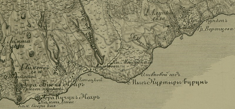
You are looking at a fragment of a topographical map of the Crimean peninsula published in 1842 by the Military-Topographical Depot of the Russian Army. The map was built from the triangulations of Lt. Colonel Oberg and topographical surveys…

Chromolithograph of the "Palace of Orianda" designed by Karl Friedrich Schinkel (1781 – 1841).

View of Count Mikhail Vorontsov's palace in the distance with Crimean Tatar men gathered in a circle in the foreground. According to Demidov, the (coastal) region around Alupka, "washed in sunlight and bathed by the sea," was quite the fashionable…