Browse Items (510 total)
Sort by:

The dedication of this 1854 printing of Mukhin's original 1817 map reads: "To Her Most Gracious Majesty Queen Victoria, and the allied armies of France and England, this military topographical map of the Krima Peninsula : constructed and founded on…

This is the georeferenced image of Vil'brekht's Map of Tavrida(1792).As you can see in the attached images, the map overlays well on modern satellite imagery. The fit is less accurate along more complex stretches of coastline, such as that near…

Locations of 1,203 villages shown on the Vil'brekht atlas sheet.
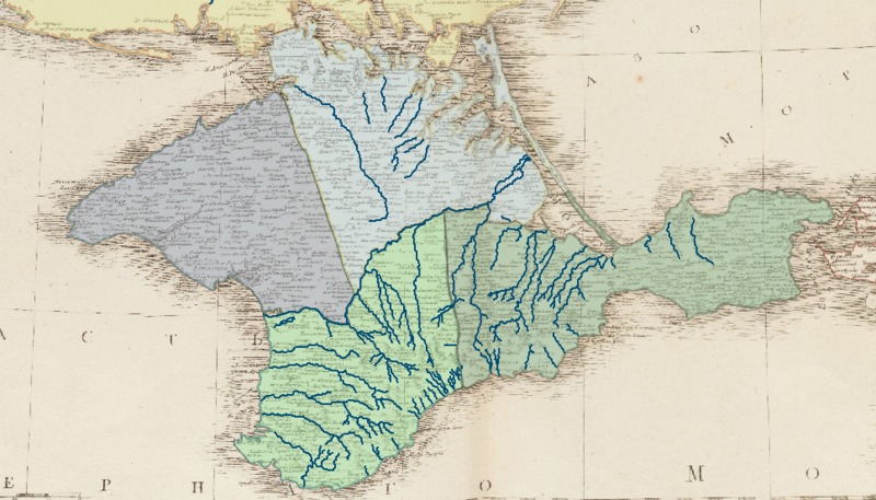
Rivers of Crimea as depicted by Vil'brekht.



Boundaries of the 6 uezdy of Tavrida province in 1792